Rested and refreshed, you will continue your short stroll through the alleys of Fusio, a village clinging to the mountain, characterised by a mix of traditional and eclectic architecture, before tackling the next, challenging section of the trek.
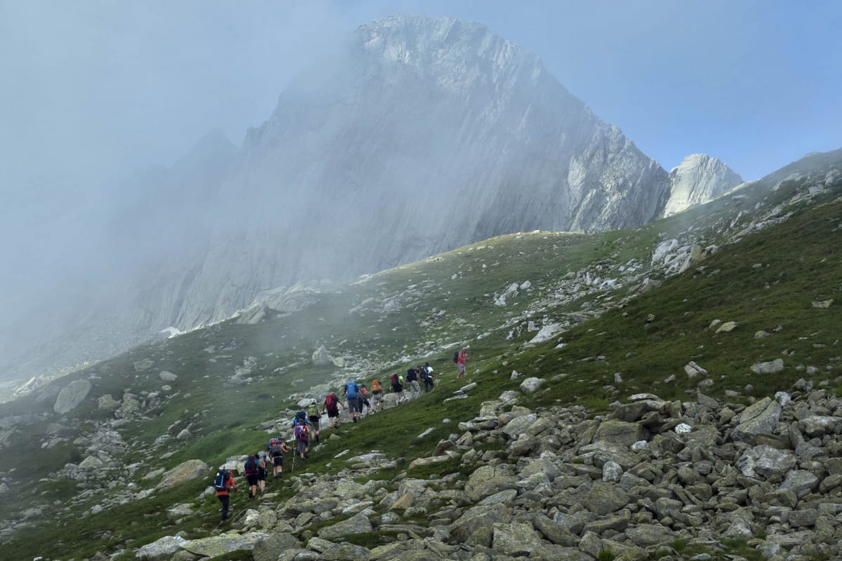
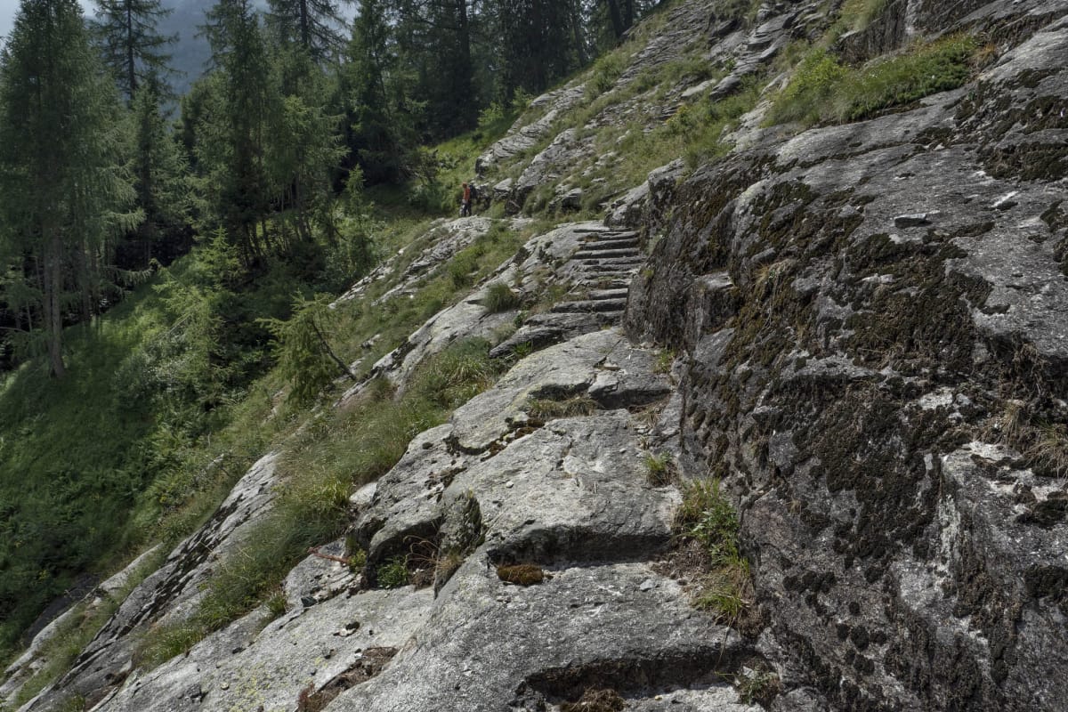
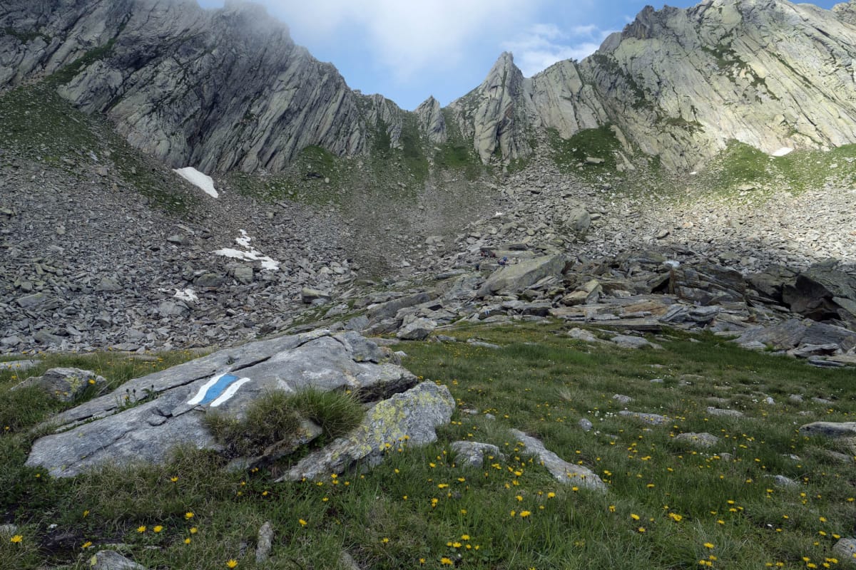
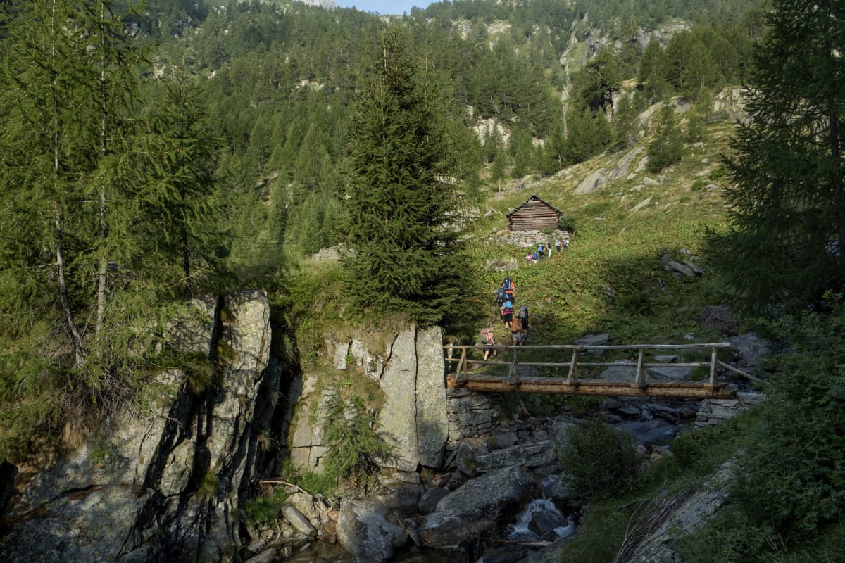
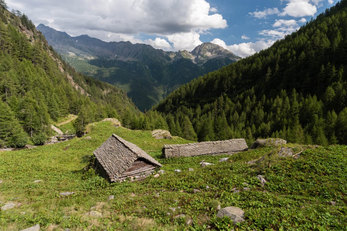
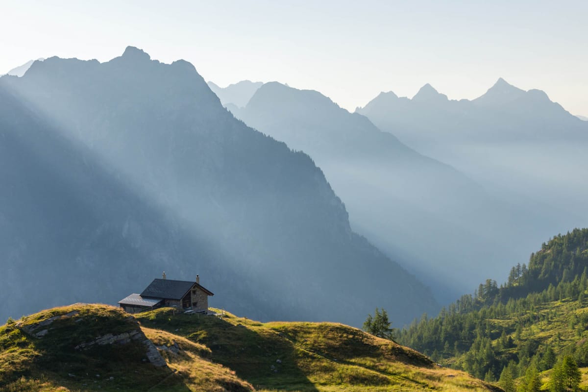
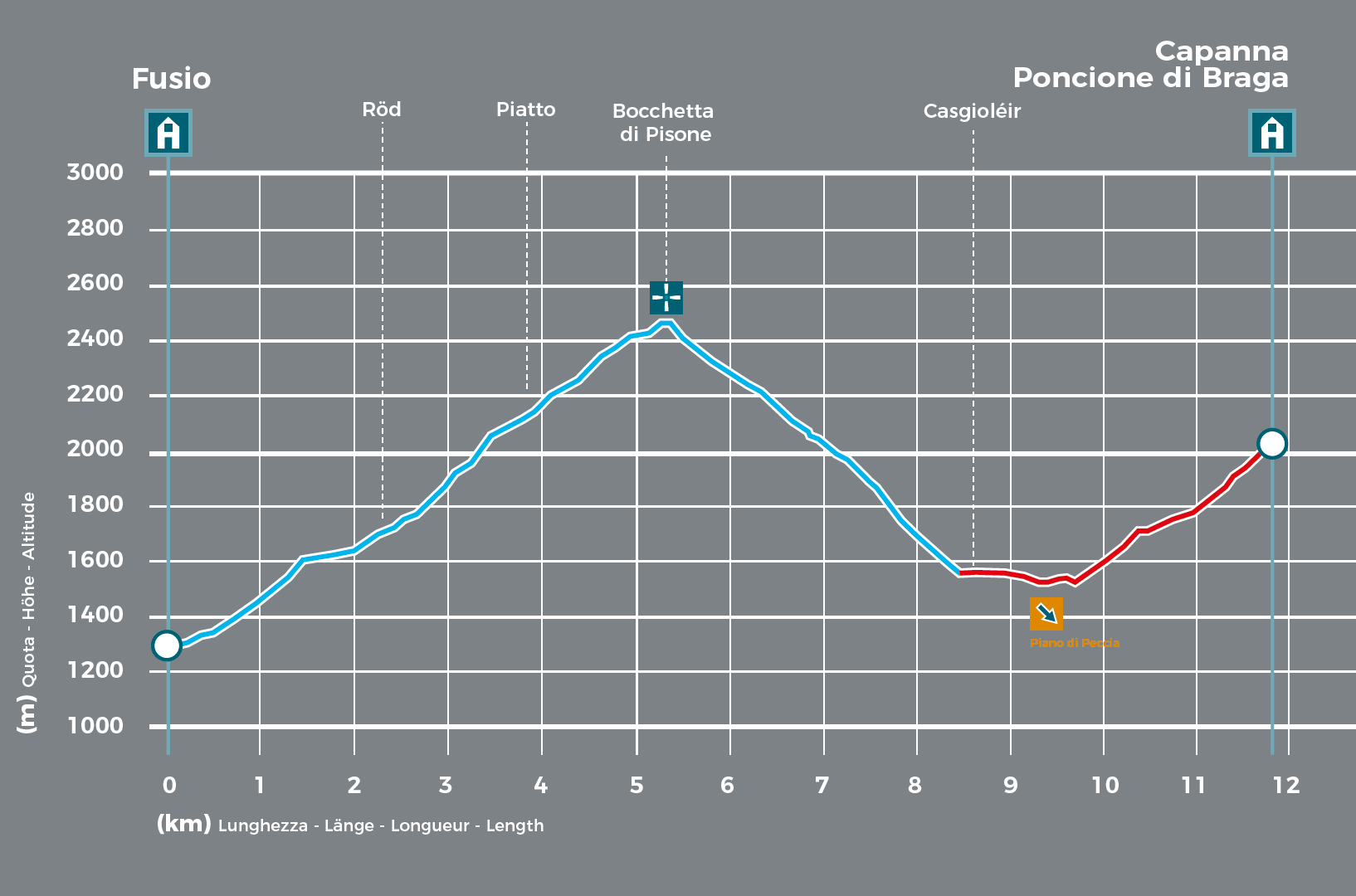
The trail climbs through larch woods, then runs along a rocky stretch and enters the secluded world of Alpe di Röd. It takes you past several stone buildings used as livestock shelters and through airy woodland and pastures, all the way to Bocchetta di Pisone, a pass neglected by hikers for decades and relaunched with this trekking route. On the other side of the pass is the Peccia Valley, famous for its marble. After a short, steep descent of almost 1000 metres, near the small bridge that crosses the River Peccia, you will discover a haven of tranquillity: Casgioléir. The trail continues with a short stretch of tunnel, a natural ledge and a leisurely ascent through woods and past streams all the way to the welcoming mountain lodge Capanna Poncione di Braga.
- Ostello Fusio (1289m)
Website
Book online - Antica Osteria Dazio (1289m)
Website
Book online - Hotel Fusio (1289m)
Website - Villa Pineta (1289m)
Website - Capanna Poncione di Braga (2003m)
Website
Book online
Technical Data
-
Stage length
11,9 km
-
Height difference ascent
1810 m
-
Height difference descent
1100 m
-
Maximum height
2478 m
-
Duration
07:15 h
-
Difficulty
T4
Download
Support the mountains
Support the association Via Alta Vallemaggia

