
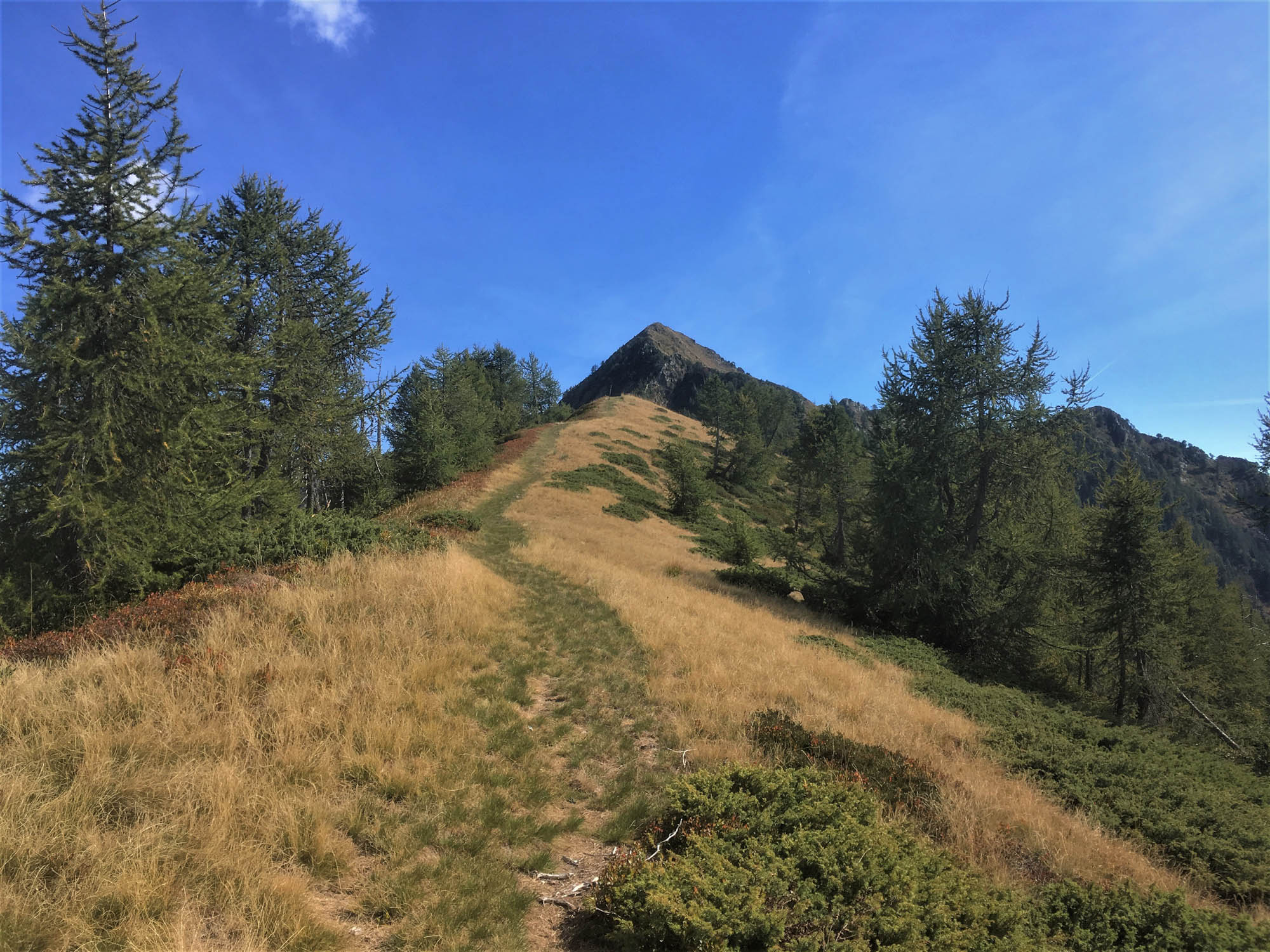
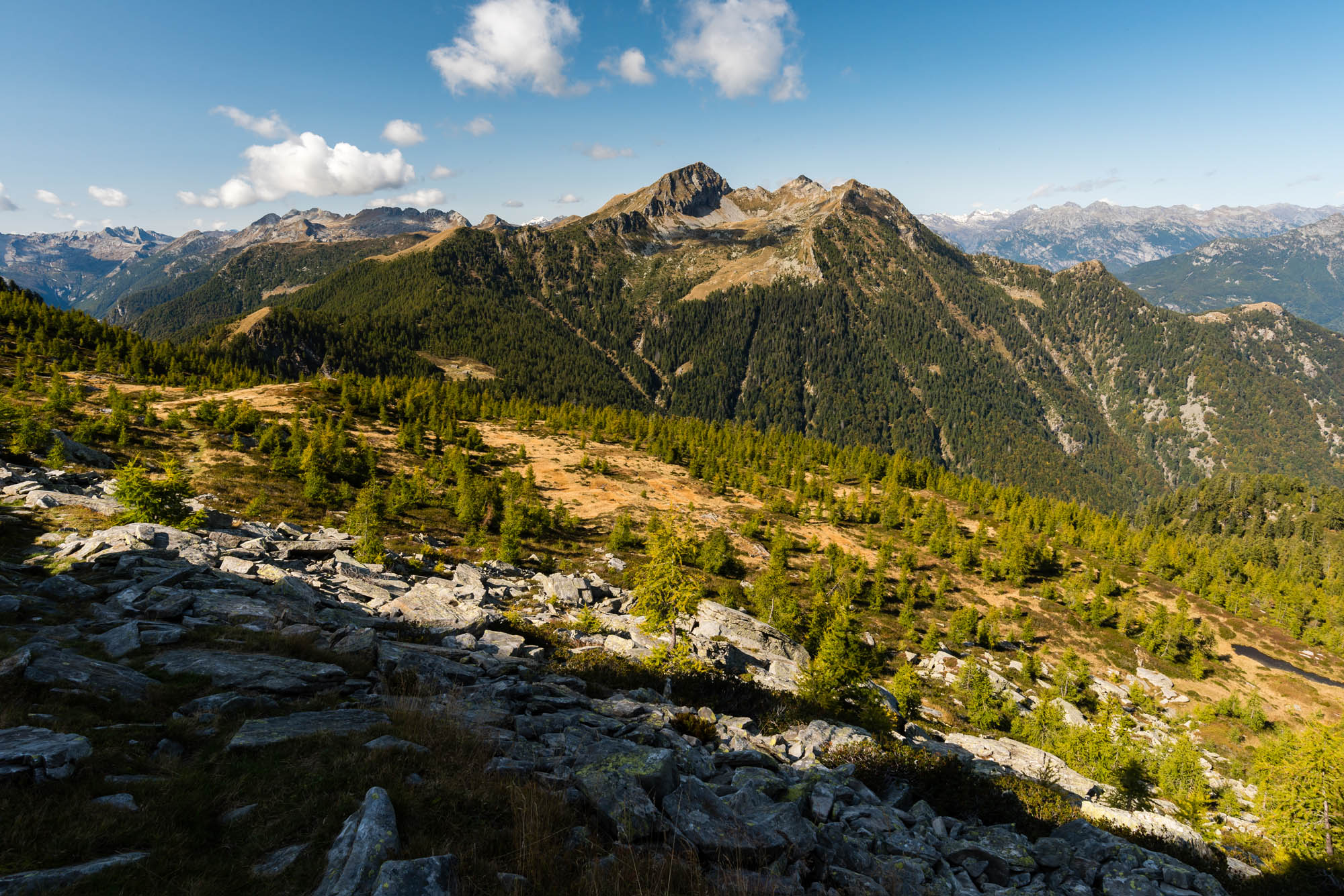
The landscape gradually gives way to woodland. The route is flanked by various types of forest, and instead of losing yourself in sweeping landscapes and distant horizons, you find yourself ever closer to that sense of inner peace and harmony that only trees can convey.
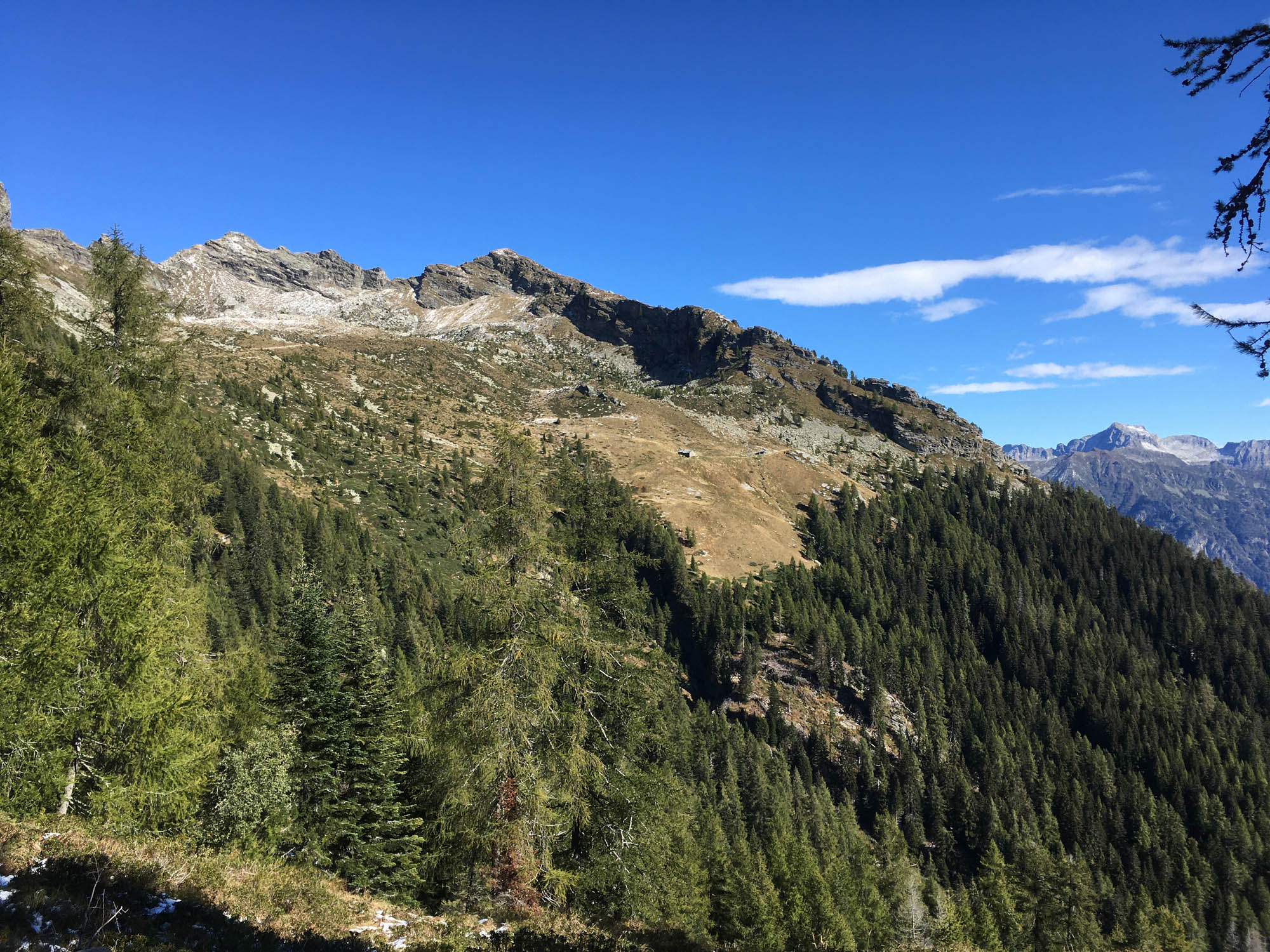


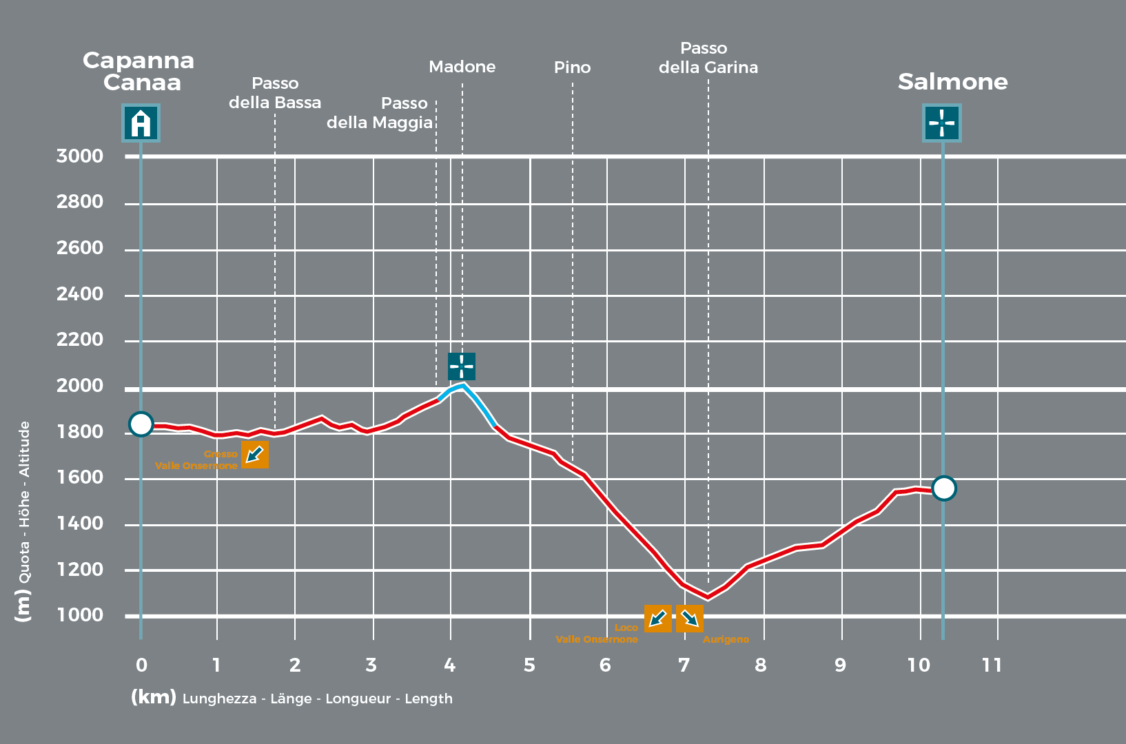
The section between the Bassa Pass and the Maggia Pass offers a magnificent view of a region listed as UNESCO World Heritage for its precious ancient beech forests, namely the Lodano Valley. After a short hike to the Madone, the trail continues to Monte di Pino, located on a ridge affording breathtaking views of the surrounding landscape. There follows a steep descent to the Garina Pass and a final ascent to Salmone. In theory, this stage of the trek ends on the peak, where there are plans to build a new lodge in the future. In practice, if you do not wish to sleep in the open, for the time being you will need to make your way back down into the valley before nightfall: the quickest route, via Auressio, takes approximately an hour and a half. If you feel up to it, you can proceed with the next stage.
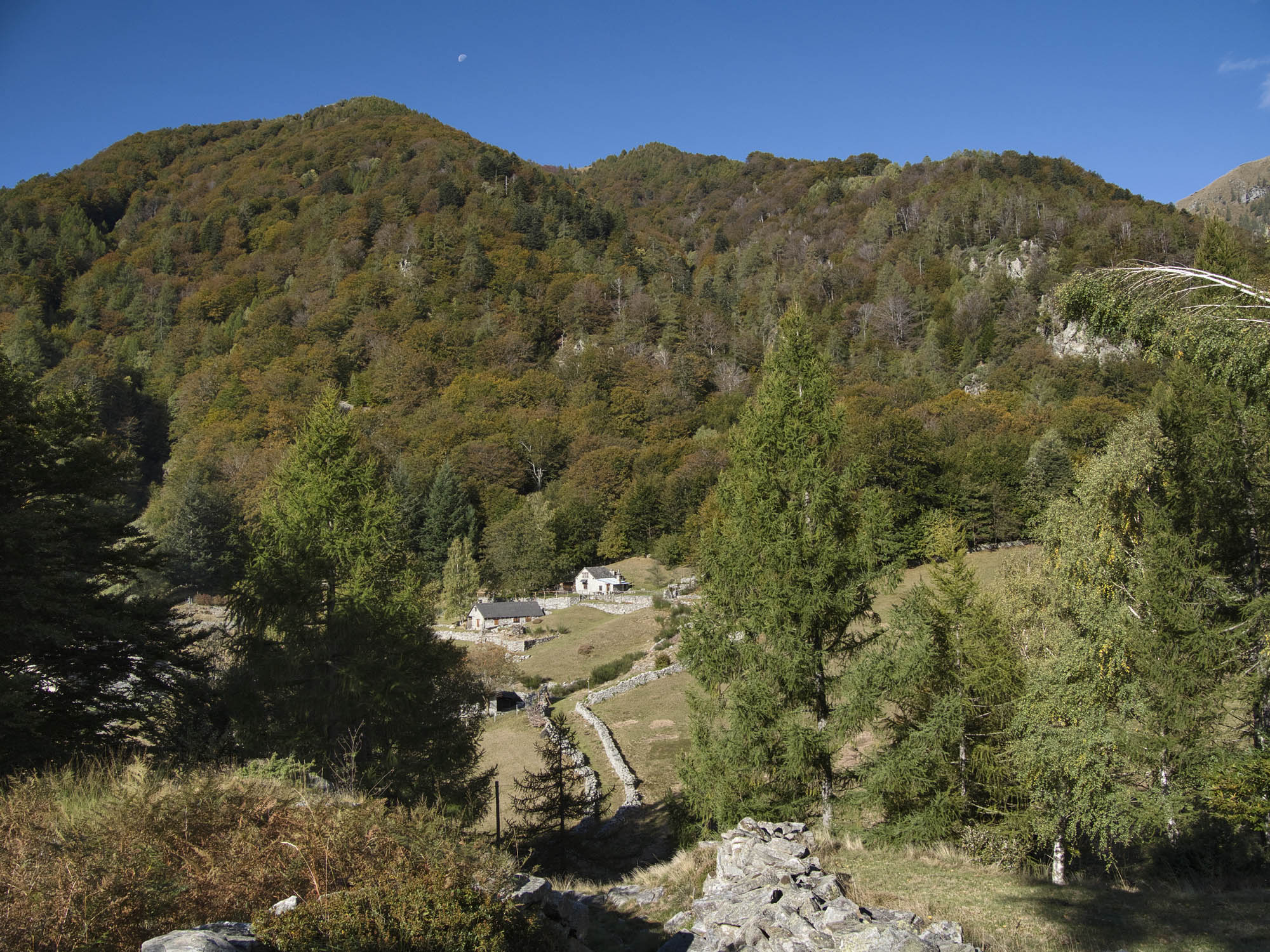
- Capanna Alpe Canaa (1843m)
Website
Book online
Technical Data
-
Stage length
10,3 km
-
Height difference ascent
840 m
-
Height difference descent
1130 m
-
Maximum height
2018 m
-
Duration
05:00 h
-
Difficulty
T3
Download
Support the mountains
Support the association Via Alta Vallemaggia