
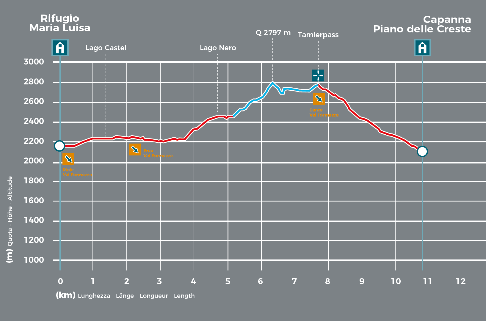
Today’s programme takes you half way around the Basòdino massif, reaching an elevation of 2,800 metres—the highest section of the entire trek.
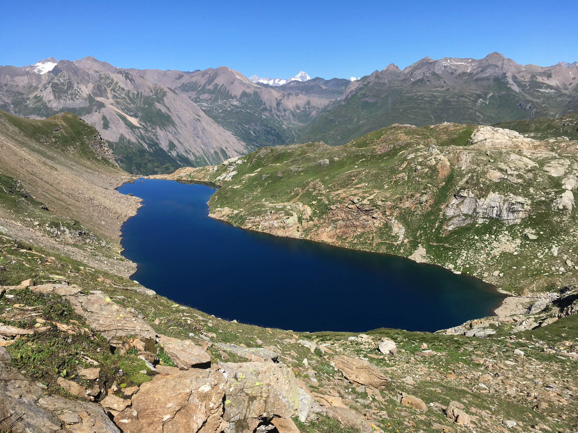

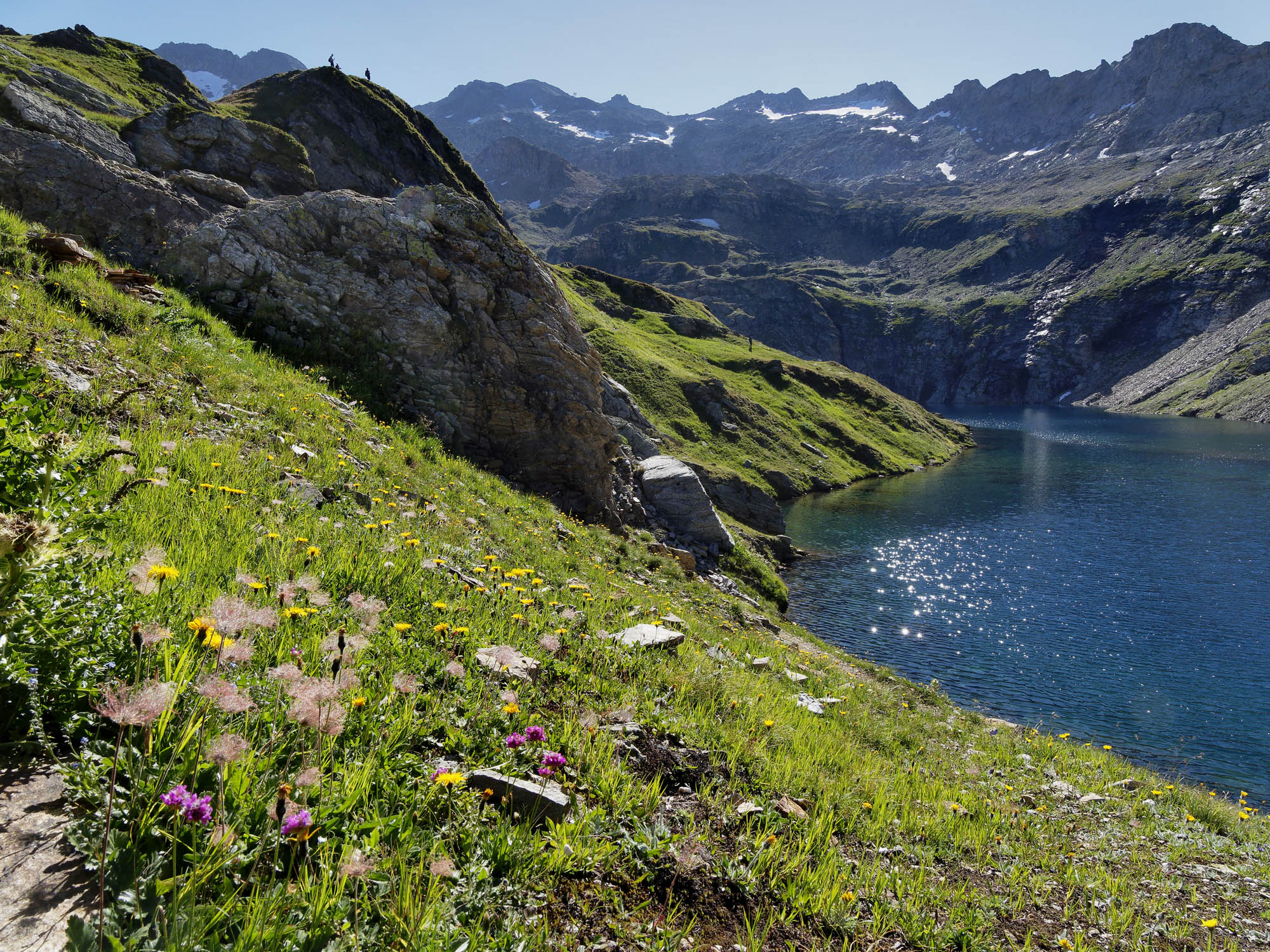
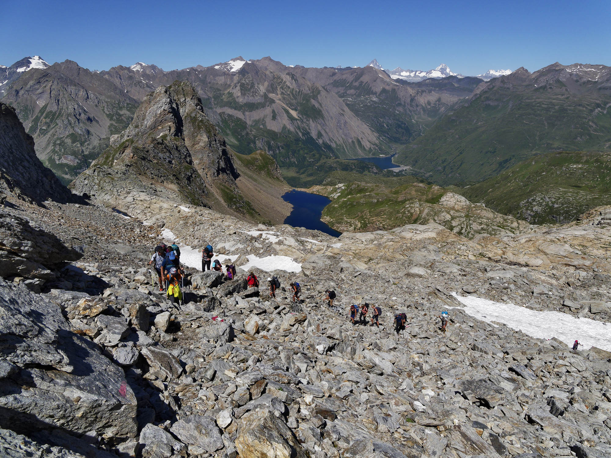

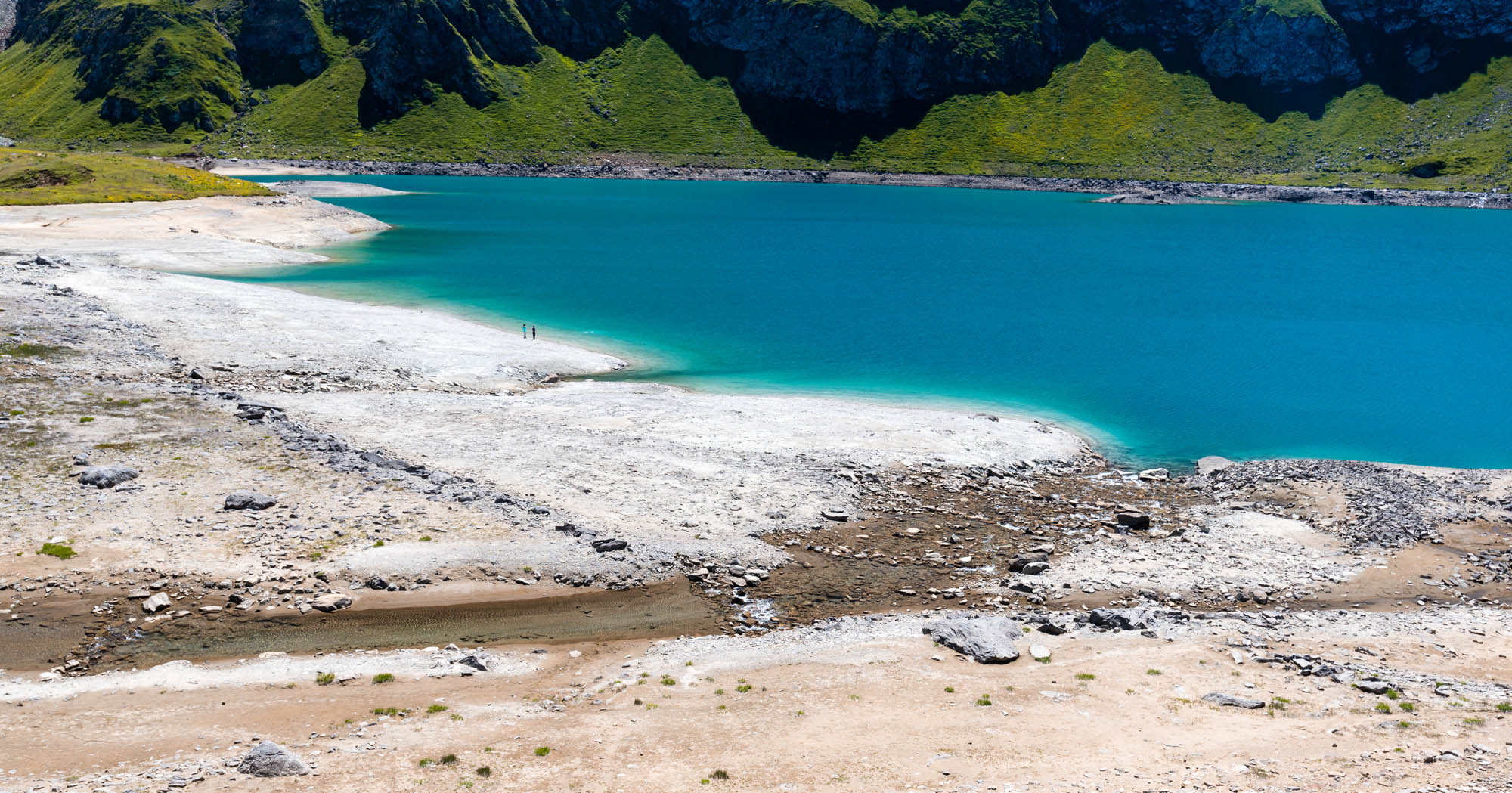
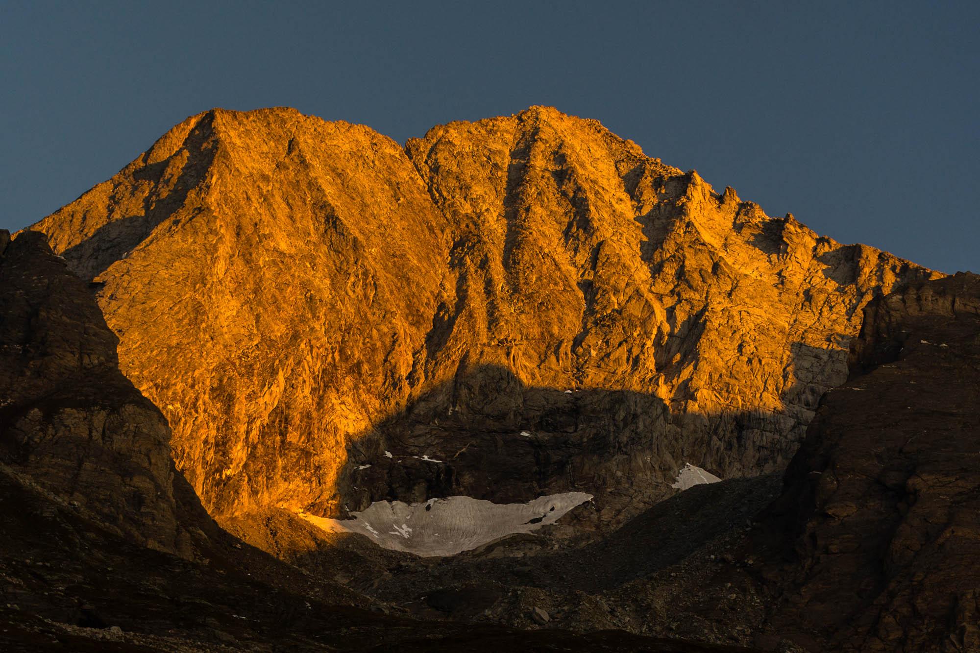
While on first glance it might seem an exaggerated undertaking, it is in fact very much doable, with much to explore around the majestic mountain range, the second highest in the Ticino: for example, the small hidden valley of Rio Scelp with its bright blue Lake Nero; or glimpses of the upper Formazza Valley with Monte Rosa in the background; or the barren stony landscape of the Tamier pass: ibex territory; then there are the strikingly beautiful unique rock faces and heaps of stones high up in the Antabia Valley; and finally, the Capanna del Piano delle Creste, a gem of a lodge. Once the highest seasonally-occupied farmstead on Alp Antabia, where cattle were driven up until 1968, in the eighties it was reclaimed and turned into an oasis of hospitality open to the public.
- Rifugio Maria Luisa (2157m)
Website
Book online - Capanna Pian di Crest (2108m)
Website
Book online
Technical Data
-
Stage length
10,8 km
-
Height difference ascent
840 m
-
Height difference descent
890 m
-
Maximum height
2797 m
-
Duration
05:00 h
-
Difficulty
T4
Download
Support the mountains
Support the association Via Alta Vallemaggia