
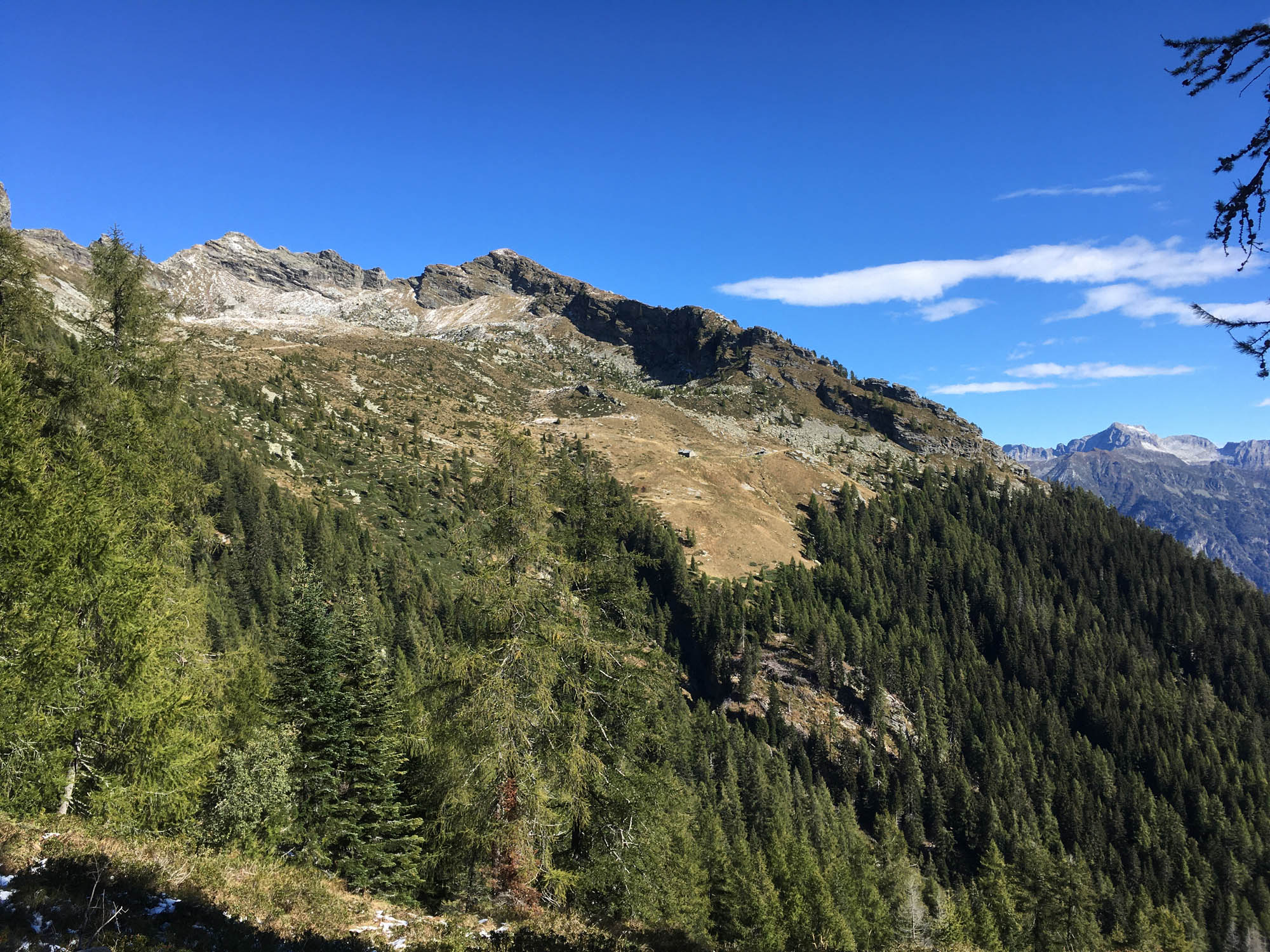
From there, the trail gradually leads you to a woodland landscape. The path is flanked by a wide variety of woodland, with sweeping views and distant horizons gradually giving way to vegetation and to that sense of inner peace and harmony that only trees can convey.

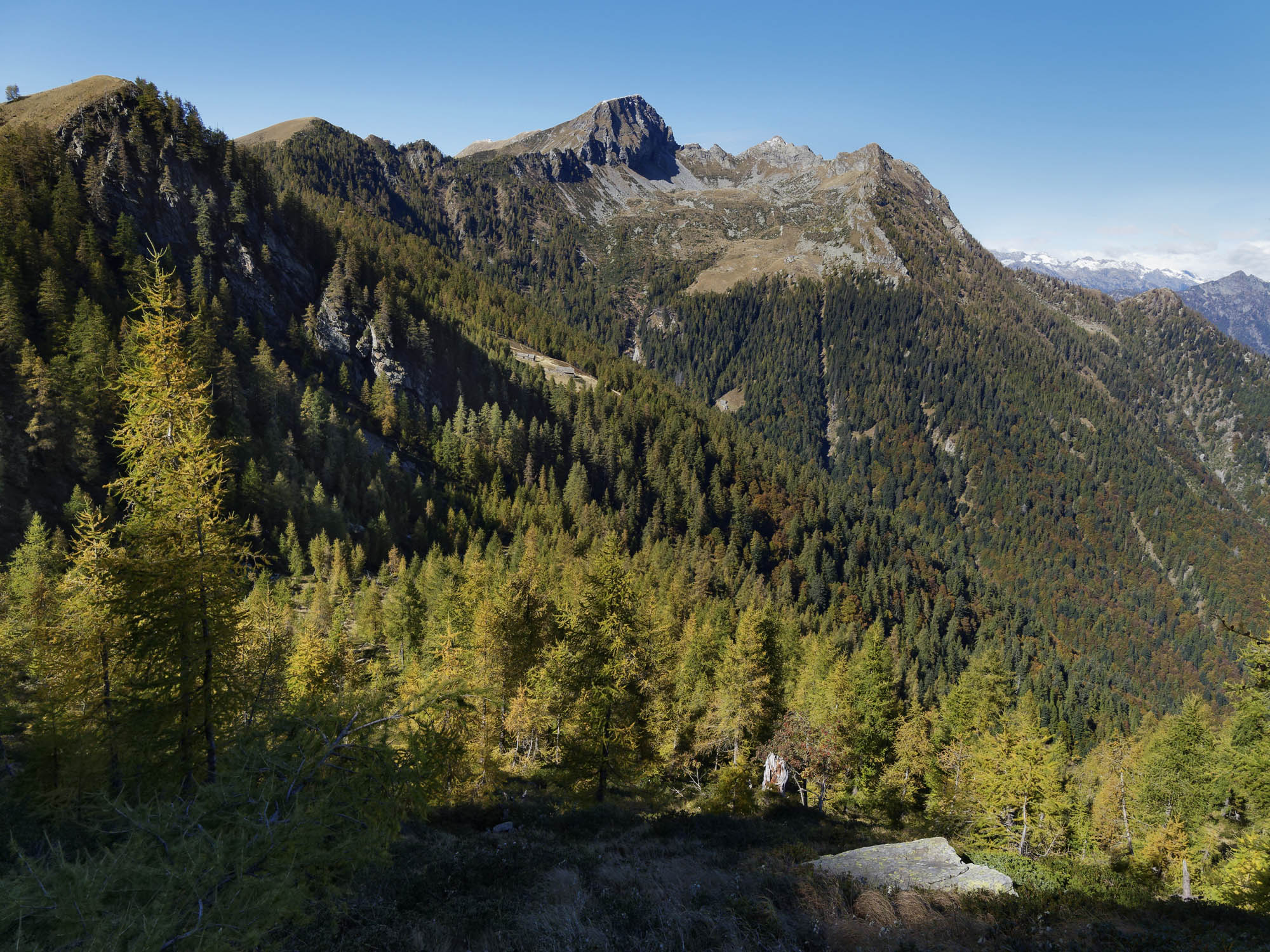

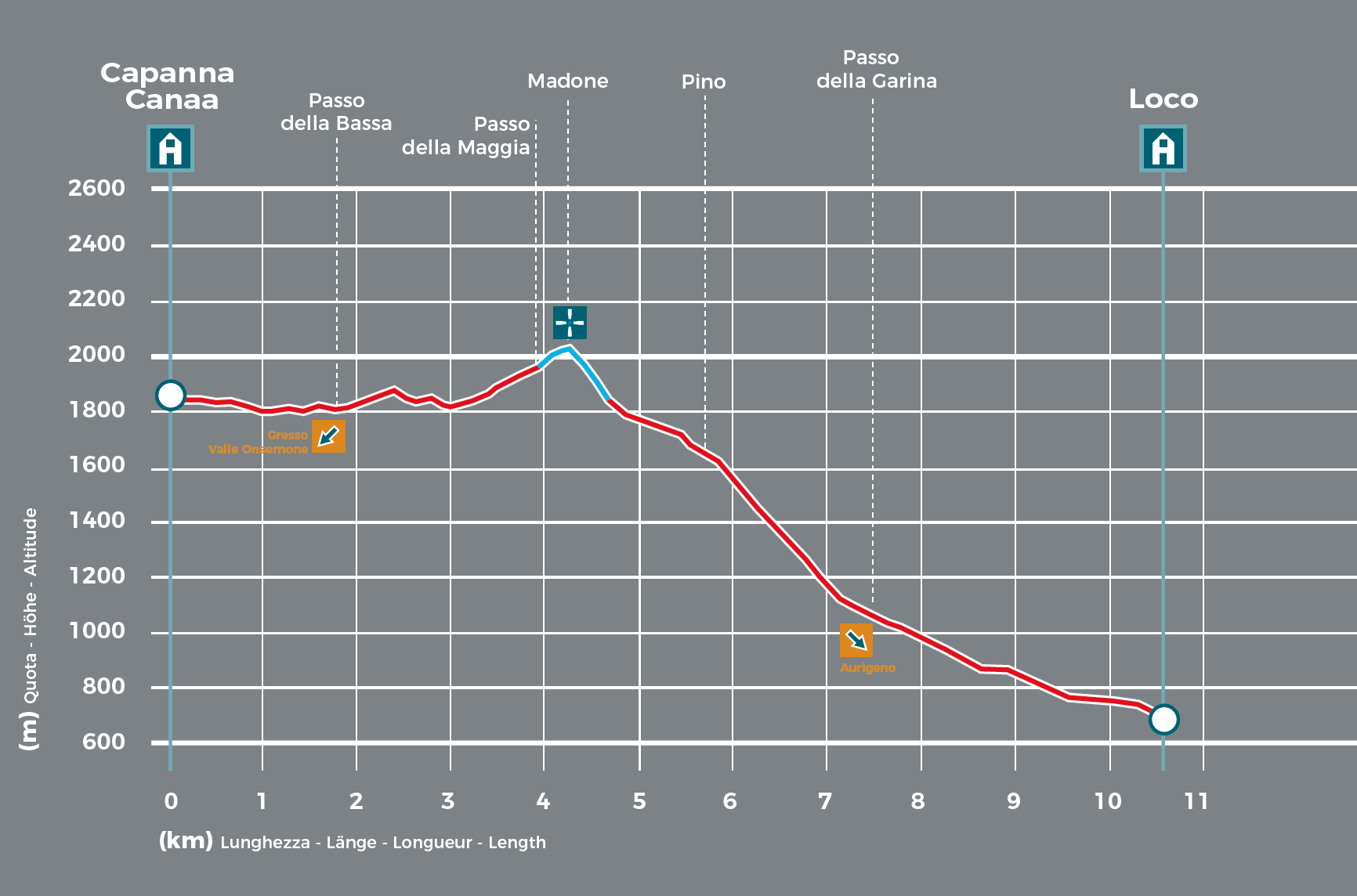
The section between the Bassa Pass and the Maggia Pass also offers a magnificent view of the Lodano valley, a region listed on UNESCO World Heritage for its precious ancient beech woods and home to the first forest reserve of the Maggia Valley, created in 2010. After a short hike to the Madone Mountain, the trail continues to Mount Pino, located on a ridge affording breathtaking views of the surrounding landscape. There follows a steep descent to the Garina Pass. The path then levels out, passing the fascinating Sasièl oratory, and continues downhill to Loco, the main village of Onsernone. The trekking adventure ends here, perhaps with a visit to the Ristorante della Posta or the Onsernone Museum.
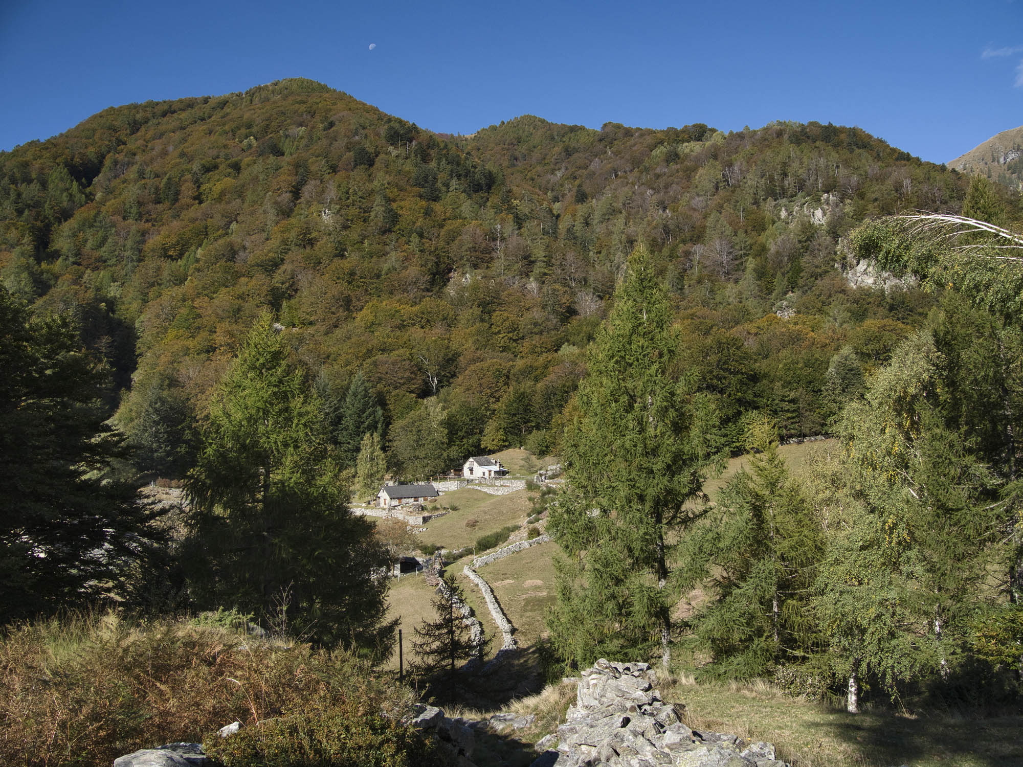
- Capanna Alpe Canaa (1843m)
Website
Book online
Technical Data
-
Stage length
10,6 km
-
Height difference ascent
370 m
-
Height difference descent
1530 m
-
Maximum height
2017 m
-
Duration
04:00 h
-
Difficulty
T3
Download
Support the mountains
Support the association Via Alta Vallemaggia