
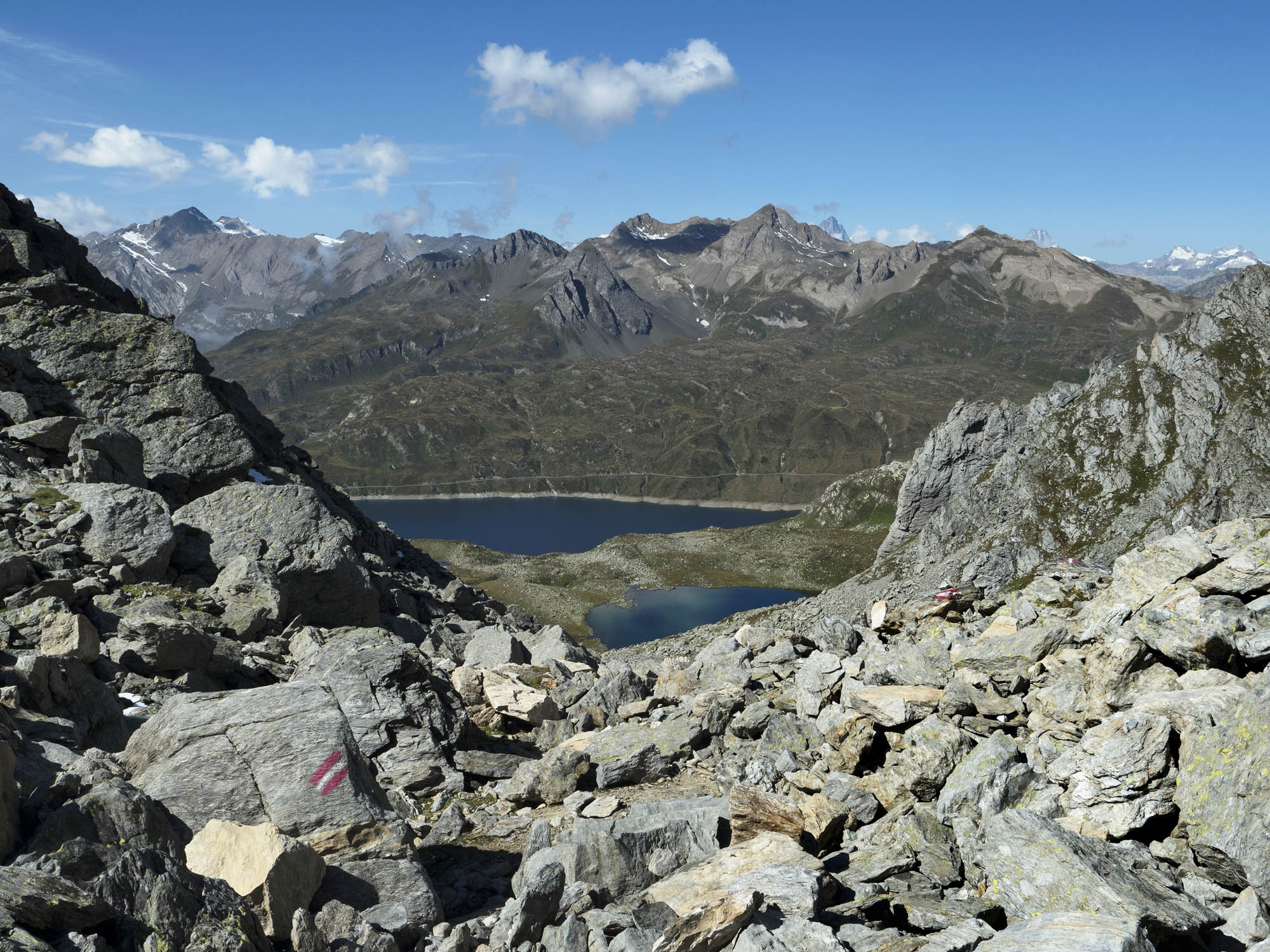
Randinascia: a small idyll; a microcosm of small valleys, peat bogs, alluvial plains, rocks smoothed by the action of the glacier, fascinating vestiges of a centuries-old human presence at the foot of the Basòdino, and home to an extraordinarily rich flora.
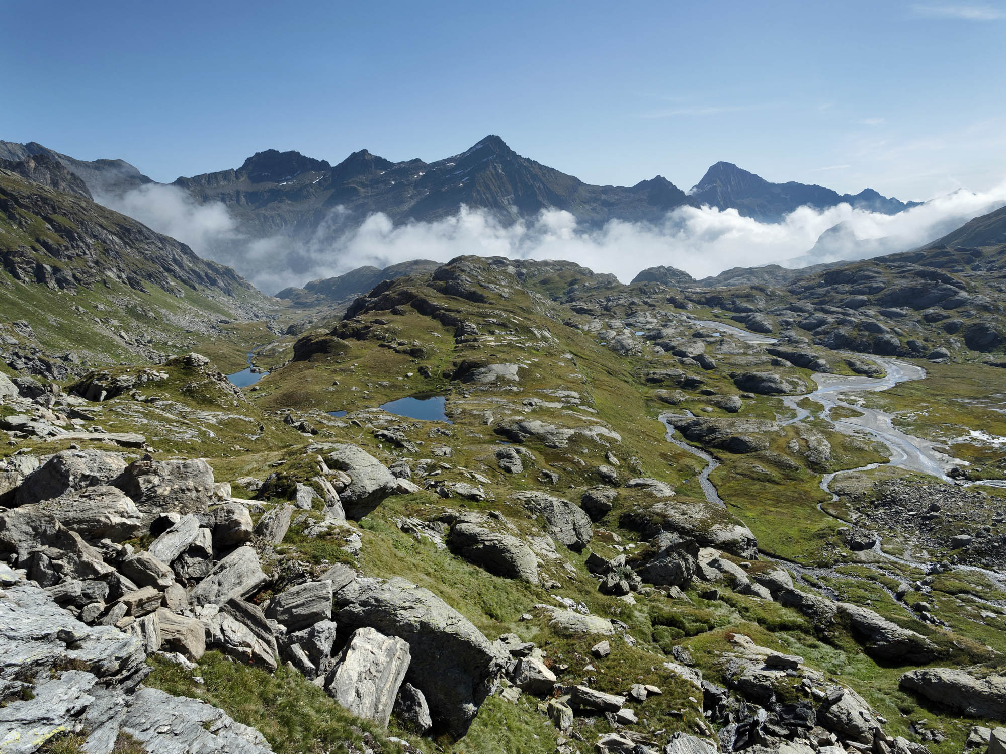


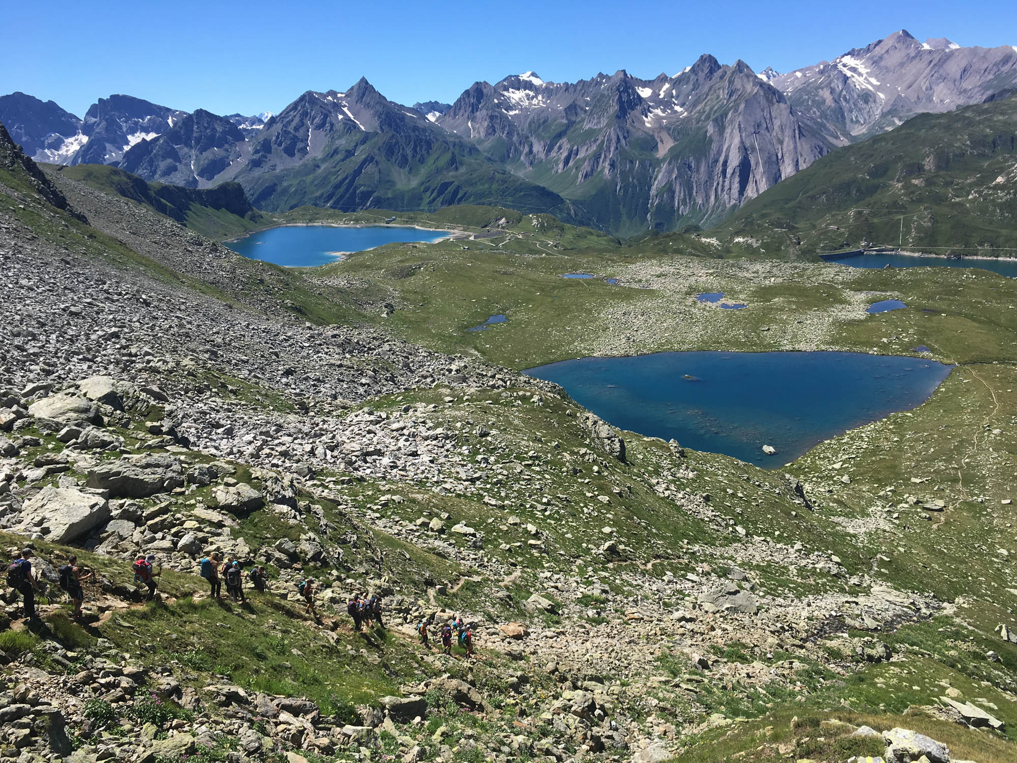
The shortest section of the trek is a good excuse to stop and admire the beauty of the landscape, listen to the silence and breathe in the scents: there is no hurry. The trail then continues towards Bocchetta di Val Maggia and over into the Piedmont region: Welcome to the upper Formazza Valley, the home of the Walser people, who settled there in the early 13th century. The German dia-lect of the upper Valais was once spoken here, as evidenced by the names of the lakes-Boden Lakes (Bodenseen); Lake Castel (Kastelsee); Toggia Lake (Fischsee). At Alpe Toggia is the Maria Luisa refuge, where you will be spending the night.
- Capanna Basodino (1856m)
Website
Book online - Albergo Robiei (2000m)
Website - Rifugio Maria Luisa (2157m)
Website
Book online
Technical Data
-
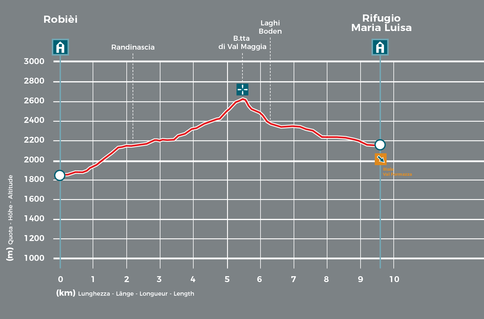
Stage length
9,6 km
-
Height difference ascent
840 m
-
Height difference descent
530 m
-
Maximum height
2633 m
-
Duration
04:00 h
-
Difficulty
T4–
Download
Support the mountains
Support the association Via Alta Vallemaggia